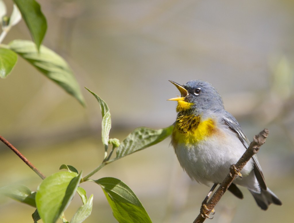
Buffalo National River

On the river, time does not exist – only the sound of the rushing water, the cries of the wood thrush and crow and the sight of light dancing on the water.

~Ginny Masullo

Our second paddle adventure back in October was on a section of the Buffalo National River in Arkansas. The Buffalo River was our nation’s first national river, designated as such in 1972. It flows over 135 miles and is one of the few remaining undammed rivers in the lower 48 states. Unlike the spring-fed Current River in Missouri, the Buffalo is largely rainfall dependent. This means paddlers must be very aware of possible changes in river levels due to storms, even those far upriver. When we stopped at Wild Bill’s Outfitters to arrange our shuttle, the staff mentioned the possibility of severe storms during our stay, with a chance for hail, possible tornadoes, etc. He added that these predicted storms often “amount to diddly-squat” as they tend to break up when they hit the mountains. But, he echoed the park literature advice and said we should “camp high” on the gravel bars since the river can jump over one foot in an hour under the right conditions. Melissa asked, how high is high? He said at least 4 feet, and make sure you have an escape route to higher ground, just in case. Well, four feet above the river level is not a common change in elevation on many of the gravel bars we encountered and on some that did have that, they dropped down as you approached the higher ground, so you could end up being on an island if the river rises, which is something that is not advised.

We decided to go ahead since the forecast called for good weather the rest of our 4-day window. We launched at Dillard’s Ferry and planned to take out 39 miles later at a private resort on the White River across from where the Buffalo joined it. We were particularly excited about paddling the Lower Buffalo River Wilderness Area, a 25-mile stretch that relatively few people paddle because, once you are in it, there is no place to take out until you get to the White River.

We paddled about 39 miles between Dillard’s Ferry and the juncture of the Buffalo and White Rivers, including the remote Lower Buffalo Wilderness (click photos to enlarge)

Right away, the Buffalo impresses you as being on a grander scale than the Current River – the bluffs are longer and much higher, soaring to about 500 feet above the crystal clear river in some areas. The cliffs are sandstone, limestone, and dolomite and add a dramatic backdrop to the beauty of the river. Fall color was just starting to paint the bluffs with red and yellow and many of the deeper hole in the river were that same aquamarine we had seen on our previous paddle.

Long bluff along the Buffalo River
We frequently scanned the high bluffs for wildlife and usually saw vultures, a few hawks, and an occasional Bald Eagle soaring above

On our first evening, we watched a beaver across the river, busily preening while sitting on a submerged rock ledge underneath an overhang of a bluff. Thirty seven vultures soared over and gradually settled in to roost. The white head and tail of an adult Bald Eagle glowed gold in the setting sun as it circled on a thermal and transformed into a mere speck in the sky above.

It is a dramatic juxtaposition when a bluff emerges directly out of the river
One of our favorite campsites
A beautiful sunset over our gravel bar campsite

The next day we encountered some shallow riffles, requiring us to get out and pull the canoe for short distances. The wind was our constant companion and even had us paddling into white caps on some of the long straight stretches of the river (I don’t think I have ever paddled into white caps while going downstream on a river). Wildlife sightings included a couple of otter, two eagles, and some wood ducks.

Another beautiful scene along the river

At one stop we found evidence of lots of other wildlife. See if you can guess who the track makers were (answers at bottom of post).

Track maker #1
Track maker #2
Track maker #3
Track maker #4
eTrack maker #5

On the upper stretches of the Buffalo you may even encounter some elk, which were reintroduced to the region over 30 years ago. We did see deer a couple of times, but no elk.

An aptly named Bold Jumping Spider (Phidippus audax) greeted us on one gravel bar

On our second night, we searched for a campsite that was a few feet above the river level as this was the night for the predicted storms. We found a location about 4 feet in elevation, but it required dragging the canoe quite a distance (unloaded, of course). But we felt secure and had our backs to some higher ground, just in case. No storm materialized in our area that night, but at one point I looked out and could see near constant lightning far off to the west.

Our high and dry campsite
Fall color along the river
Another dramatic cliff face coming straight out of the water

Our last campsite of the trip was on a beautiful, wide gravel bar across from another bluff. We had seen two more eagles that day, and another flew by as we were setting up camp. While exploring for firewood sticks, I found one eagle feather. This section of river had more eagles and more kingfishers than further upstream, no doubt due to the increase in smaller fish we were seeing.

Feather from a Bald Eagle (we left it on the beach after taking this photo)
Another spectacular sunset was a great way to end our canoe camping adventure

After a gorgeous sunset we settled in for a nice campfire and some star gazing. It wasn’t long before we experienced something new to us both – exploding rocks in the campfire. There was a particularly large burst of flame and sparks when I added some sticks to the fire early in the evening which caught us both by surprise. We thought it was something in the sticks I had added until we started hearing little whizzing sounds, similar to the sounds a flying bullet makes in cartoons. Suddenly, Melissa got hit in the forehead by a small pebble and we realized the rocks were exploding in the fire. This, our last night, was the first time on our entire trip we had experienced anything like this. It turns out, exploding campfire rocks is a thing caused by moisture trapped in certain rock types. When the rock gets heated high enough, the water vaporizes and can cause the rock to splinter, shooting rock fragments up to several feet. We scooted back away from the fire, and I stirred it, spreading out the ashes to reduce the heat. This soon stopped the rock fireworks. Melissa surmised that the cliff face near us was sandstone rather than the dominant limestone and dolomite bluffs we had encountered on most of our trip and this created this unusual phenomenon.

An exciting final night campfire complete with exploding rocks
Here is a pebble that shot about 6 feet from the fire and embedded itself into a plastic bag with an audible thud
Our final misty morning on the Buffalo River
One of the well-known landmarks on the lower Buffalo – Elephant Head Rock
The end of our journey as the White River comes into view

On our final morning, we enjoyed another otter encounter and marveled at how one can disappear even when you are close enough to see its bubbles pass under your canoe. The river widened as we approached the confluence with the larger White River and it became harder to dodge the increasingly common huge boulders just below the surface. We had to pick our way through some boulder fields before hitting the fast flowing current of the White River. That river is controlled by a dam upstream and we were advised it can be difficult to paddle upstream when they release water. When we hit the confluence, it suddenly became almost impossible to paddle the short distance upstream we needed to in order to go around the island to our take out location just across the river. We ended up getting to the shore of the island and walking the canoe around the tip so we could then paddle with the current to the canoe landing. And, it turns out, this was normal flow (there was no release of water from the dam that day). I can’t imagine trying to paddle that stretch when water is being released.

Our adventure had ended and now we had a couple of days travel back home. What a trip – two beautiful crystal clear rivers, amazing scenery, beautiful weather, star-filled nights, and loads of wildlife. Now we are hooked on long distance canoe camping (we paddled about 100 miles on the two rivers). Up until this trip, most of our canoe camping has been on the Roanoke River and Merchants Millpond back home. We’ll be searching for other rivers for this type of experience, so if you have suggestions, let us know.

Answers to the track photos:

#1 River Otter

#2 Bobcat (roundish and no claw marks)

#3 Coyote (oblong with claw marks)

#4 Raccoon

#5 Aquatic snail trails

Paddling the Black River

Black River just downstream from Henry's Landing

Black River just downstream from Henry’s Landing

Last week, my friend, and former co-worker, Jerry Reynolds asked if I wanted to go along with he and another friend on a paddle along the Black River as he prepped for an upcoming program. I jumped at it since it has been years since I paddled the Black (I did go upriver last year in a power boat, but that is a very different experience).

The Black River originates in Sampson County and runs about 65+ miles before joining the Cape Fear. It is characterized by meanders, oxbows, artesian springs and mature swamp forests. The waters are clear but are stained a dark tea color due to tannins leached from decaying vegetation.  The water clarity allows you to see emerging aquatic vegetation and the sand bars as you drift along in the current. These make an interesting backdrop for the dark reflections of the forest and sky. Because of the good flow, the presence of so many artesian springs, and the relatively undisturbed nature of much of the waterway, the Black River is designated as Outstanding Resource Waters by the state.

_-2

The clear, dark waters allow glimpses of submerged vegetation and sand bars as you paddle.

The Black was not always the quiet stretch of dark water it is today. Commercial activity on the Black River began over two hundred years ago with the transport of timber, cotton, and livestock. In the mid-1800’s there were numerous steamboats moving products up and down the river (hard to imagine given the shallow nature of the river today). But the advent of railroads and roads caused the river traffic to all but disappear by the early 1900’s. The Black was then left to the owls, ducks and the occasional fishermen and hunter. After 100+ years of relatively little human disturbance, the Black River is now one of the finest examples of coastal swamp forest in the southeast. Many landowners and conservation groups have recognized this and miles of the river shoreline are now protected through the efforts of groups like the NC Nature Conservancy.

The Black River is wide in spots.

The Black River is wide in spots.

We arrived yesterday morning at Henry’s Landing along Hwy 210 and unloaded gear and then transported one vehicle down to the take out point at Newby’s Landing, a distance of approximately 10 river miles. We launched into the tea-colored waters a little after 10 a.m. The river is fairly wide at this point and there was a slight current. Almost immediately, a beautiful cypress swamp surrounds you on both sides of the river, hinting at the grandeur to come. A short ways downriver we flushed a few Turkey Vultures and then passed under others with wings spread, soaking in the morning sun. To someone more suspicious than I, this might be a bad omen as we enter the swamp.

The sky was Carolina blue with a few puffy clouds and the banks were starting to reveal the palette of colors that trademark the arrival of spring in these forests – the lime green of emerging cypress and gum, the light orange-red of oaks, and the occasional splash of white flowers from a riverbank hawthorn (probably Parsley Hawthorn, Crataegus marshallii).  I heard a few calls from some swamp warblers fresh from their wintering grounds – the zeeeeee-up of Northern Parulas and the sew-sew-sew-sew-sew-sewEE of a Yellow-throated Warbler.  But spring has just arrived, and the only other warbler I saw was a Yellow-rumped.

Leaf out along the Black River.

Leaf out along the Black River comes in a palette of colors (click to enlarge).

The first reptile was a large Brown Water Snake. This was the first of many such snakes we encountered. Brown Water Snakes are large-bodied snakes easily identified by their pattern of dark brown blotches down the middle of their lighter brown back. These blotches generally alternate, but do not connect to, dark blotches along the sides of the snake. These are the snakes you often see sunning above the water on limbs or trunks of fallen trees, sometimes as high as 15 feet. If a paddler goes under one and startles it, the paddler might get startled by a snake dropping into his or her boat, something that has happened to me only once in all my years (but once is enoughJ). Unfortunately, watermen who think it is a venomous cottonmouth often kill this harmless snake.

Brown Water Snake

Brown Water Snake sunning on a limb over the river (click to enlarge).

About 5 miles downstream from Henry’s Landing it looks as though the river disappears. The main channel seems clogged by logs and vegetation as it bends to the left. The Jerry’s holler “follow us” and off through a maze of tiny channels they paddle, dodging cypress knees and tupelo gum saplings. This is the start of the famed Three Sisters area of the Black River. One story has it that in the days of commercial boating there were three distinct channels in the swamp area of the river, hence the name “The Three Sisters.”

Now, this area is best known as the home of the oldest documented trees in the eastern U.S.  As part of a dendrochronology study in the southeast, researchers from the University of Arkansas cored several large Bald Cypress trees in the area in 1985 (core sampling does not seriously harm these ancient cypress). One tree turned out to be over 1700 years old. The researchers estimate others may be over 2000 years old, but cannot be accurately aged since most are hollow, making them impossible to properly core. Soon after this discovery, the recognition of the national significance of this stand of trees gave rise to efforts to preserve the forests along the Black River.

The Jerry's paddle the Three Sisters Swamp.

The Jerry’s paddle the Three Sisters Swamp.

The current picks up a bit as the “river” breaks into a series of braids and weaves through dense vegetation. Jerry says the water level is good and we may be able to paddle the whole way instead of getting out and wading with your boat as he has often done. Seems to me this is an easy place to get lost, but they both say you just keep following the current and you’ll find your way out (although I notice they are both frequently checking their GPS units). I hear squawking off to my right and spot a Great Blue Heron standing on a nest with what must be very young chicks begging for food. Soon, large trunks of cypress and an army of cypress knees engulf me. Huge gray trunks hold flattened tops of cypress at a level that seems a bit too short for their size, as if they had hit an invisible ceiling. These are the ancient ones, the trees well over 1000 years old. I know I am in a special place. We all just sat in our boats, taking in the view that surrounded us.

Looking up the trunk of one of the ancient ones.

An ancient cypress.

After spending several minutes with the ancient ones, we pushed and paddled our way along with the current until we hit what resembled a small channel which gradually lead to a bigger channel and finally something that looked more like a river. As we continued downstream, several side channels joined us, making me wonder how anyone can find their way to Three Sisters if they paddled upstream.

Last night when I returned home I read an article by Dr. David Stahle, one of the researchers who discovered the antiquity of these incredible trees. He helped me understand some of what I felt while in the swamp…

“In many areas along the Black it is possible to turn in a circle and see 10 to 20 bald cypress trees over 1,000 years old.  This density of millennium-old trees is rare in any forest worldwide.  Although a dozen or so species can live for more than 1,500 years, most of these old growth stands have very few individual trees in the oldest age class.  Not at the Black River.  There are literally hundreds of millennium-old trees at the Black River, which has the largest concentration of ancient bald cypress trees we have ever found after 30 years of searching in the southeastern United States, Mexico, and Guatemala. “ 

Nearing the end of our paddle.

Nearing the end of our paddle (click to enlarge).

Although the wildlife diversity on this day (17 species of birds, three species of herps, and several butterflies and freshly emerged dragonflies) was not what I had hoped, it was still an incredible paddling experience. The feeling of isolation and of the beauty of an unspoiled swamp populated by ancient trees is something that will draw me back to this magical place again.