With the exception of a body of rocks looking like the ruins of an old castle, near the southwestern extremity, the top of Roan may be described as a vast meadow, without a tree to obstruct the prospect; where a person may gallop his horse for a mile or two, with Carolina at his feet on one side and Tennessee on the other, and a green ocean of mountains rising in tremendous billows immediately around him.
~Elisha Mitchell, 1835
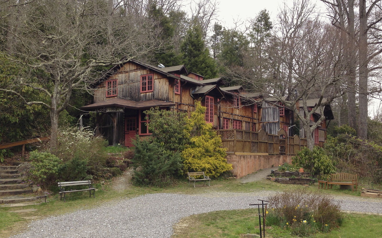
Last weekend we took a mini-trip to the mountains on short notice. Original plans were to travel to South Carolina, but weather reports called for rain much of the weekend. A last minute change of schedule had us headed to one of my favorite spots in our mountains to spend a night or two – the Celo Inn. Located near Burnsville, the Inn is both simple and elegant. I have stayed here many times over the years, including on several museum workshops, and it has always been a pleasure. The innkeepers are wonderful folks, and the breakfasts are a delight. Plus, the location, just a few miles off the Blue Ridge Parkway, is ideal for all sorts of mountain adventures.

After checking in, we headed to a nearby waterfalls for a short hike before dinner. Roaring Fork Falls is a 100 foot cascade up an easy 1/2 mile trail. It is a well-used area but is still a beautiful setting. Unfortunately, all of the hemlocks at the falls appear to now be dead from the effects of the introduced Hemlock Woolly Adelgid. It makes me wonder what impacts there have been (or will be in the future) on the aquatic life in this, and so many other beautiful mountain streams. Shade cast by the dense canopy of the large hemlocks helped cool the temperatures in the streams and, undoubtedly, provided a lot of organic input every year. Only time will tell how these mountain streams will fare without the hemlocks along their banks.


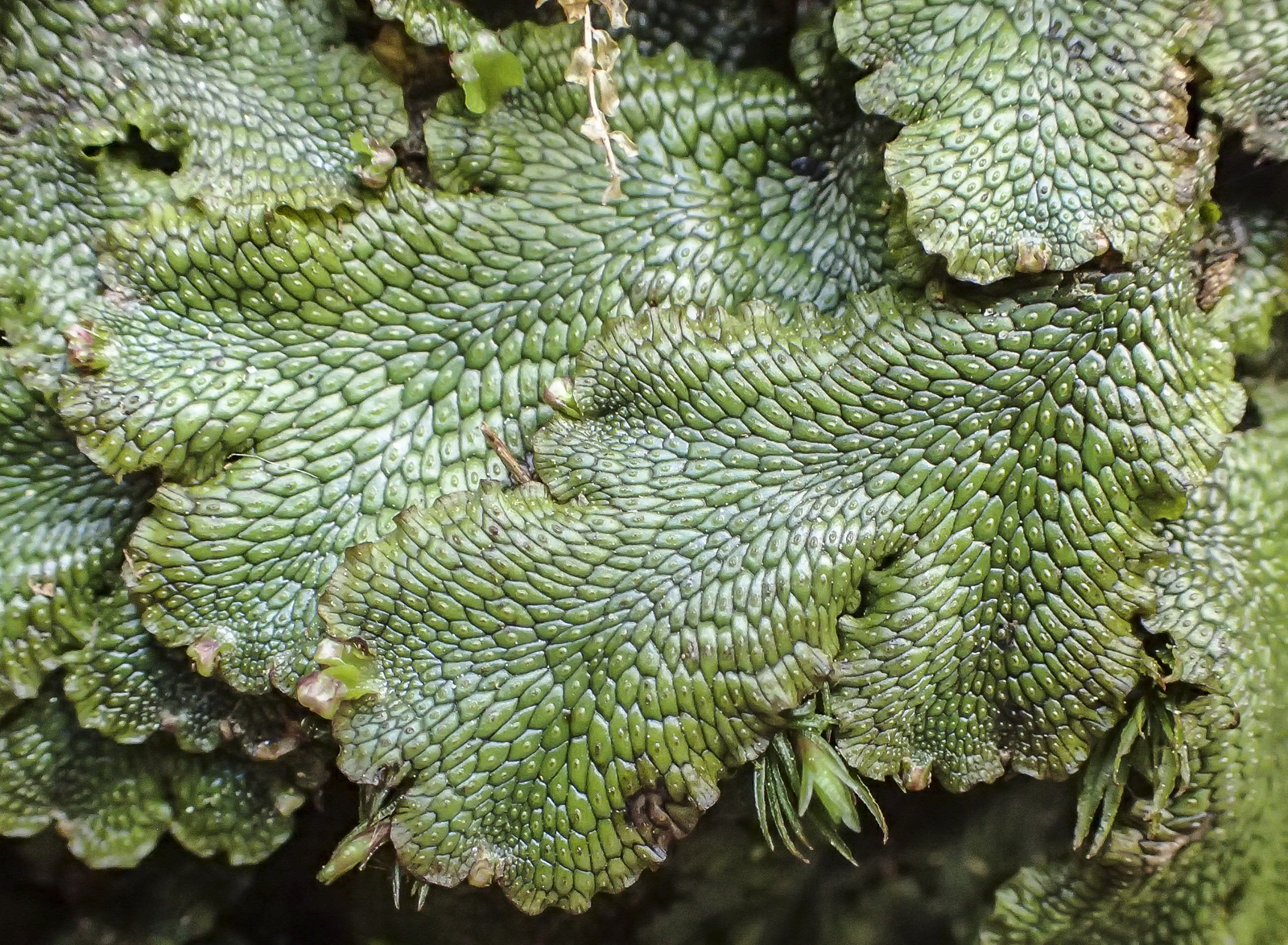
Just sitting by a clear ribbon of water is a soothing way to spend time, and helps me take in the scene more clearly. I think I notice subtleties better when listening to flowing water.
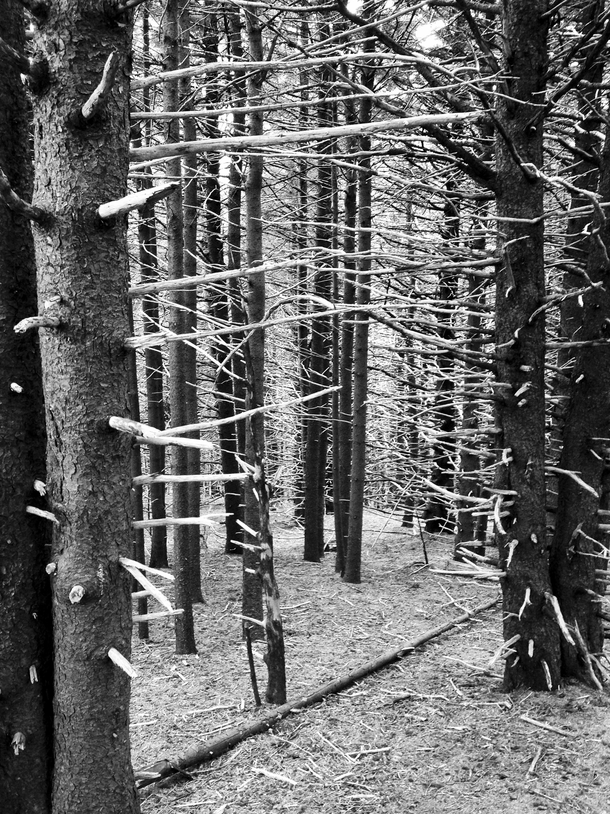
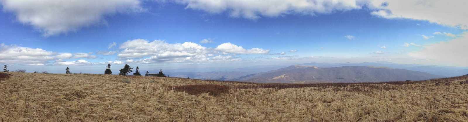
The next morning we drove about an hour to a new area for me, the so-called highlands of Roan Mountain. The Appalachian Trail (AT) crosses the road at Carver’s Gap and heads up on both sides to a unique habitat in the Southern Appalachians – mountain balds. We arrived at the trail head to discover it really is one of the more popular hiking destinations in the region. I am guessing there were 40 or 50 vehicles parked in the lot and along the roadsides. The guidebook said most people only walked to the top of the first bald and, beyond that, the trail would grow less crowded. We headed north along the AT, crossing through a dense grove of red spruce, before breaking out into a clearing bordered by rhododendron.

Mountain balds come in two flavors – grass balds and shrub (or heath) balds. The term “bald” here refers to mountain summits that are covered in grasses or shrubs where you would normally expect to find forests. The origin of these treeless areas is still a mystery, although current theory suggests that grazing by large native herbivores (some of which, like ground sloths and woolly mammoths, are now extinct) in prehistoric times, and later by elk, bison, and introduced livestock with the arrival of settlers, has maintained these unique vegetative communities. Whatever their origin, they are a hiker’s delight. But, conditions are changing and shrubs are beginning to encroach on many of the grassy balds in the region. Land managers are trying various strategies (grazing, mowing, hand cutting) to maintain these scenic vistas.

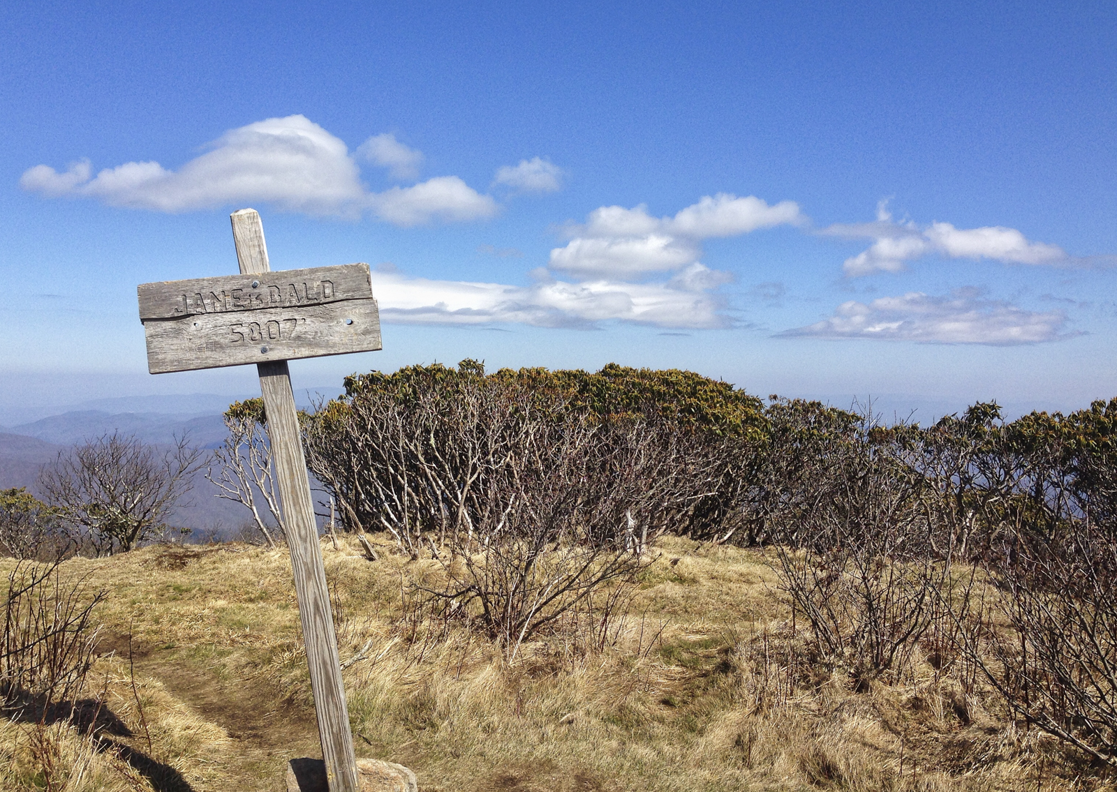
Along our section of trail, there are three high elevation balds – Round Bald (5,826 ft.), Jane Bald (5,807 ft.), and Grassy Ridge (6,158 ft.). This section of trail across the Roan highlands is said by many to be the most scenic section along the entire 2000+ mile Appalachian Trail.
The trail literally straddles the NC-TN state line as it gradually climbs over the ridges. Along the way, you pass through a few shrub-dominated zones containing Catawba rhododendron, green alder, and blueberries.

After Jane Bald, the AT veers off down a slope, but we continued on a well marked trail up toward the summit of Grassy Ridge. In a scene reminiscent of my recent Everglades trip, we passed under a tunnel of vegetation, but this time it was rhododendron, instead of red mangroves, brushing my hat.

After the short stint of ducking under low branches, you come out into a vast open area, which keeps getting more spectacular as you climb.
This is Grassy Ridge, and on a clear day, waves of undulating lines stretch out before you – Grandfather Mountain, Table Rock, Hawksbill, and countless lesser known peaks and ridges that seem to go on forever. This is why this section of trail is so popular. I can only imagine what it must be like in late June when the rhododendrons are in bloom, along with the occasional rare Gray’s Lily. I suppose I will need to return to see for myself.

Leave a comment